
Hvar is a Croatian island in the Adriatic Sea, located off the Dalmatian coast, lying between the islands of Brač, Vis and Korčula. Approximately 68 km (42.25 mi) long with a high east-west ridge of Mesozoic limestone and dolomite, the island of Hvar is unusual in the area for having a large fertile coastal plain, and fresh water springs.
Its hillsides are covered in pine forests, with vineyards, olive groves, fruit orchards and lavender fields in the agricultural areas. The climate is characterized by mild winters and warm summers with many hours of sunshine. The island has 11,103 residents, making it the 4th most populated of the Croatian islands.
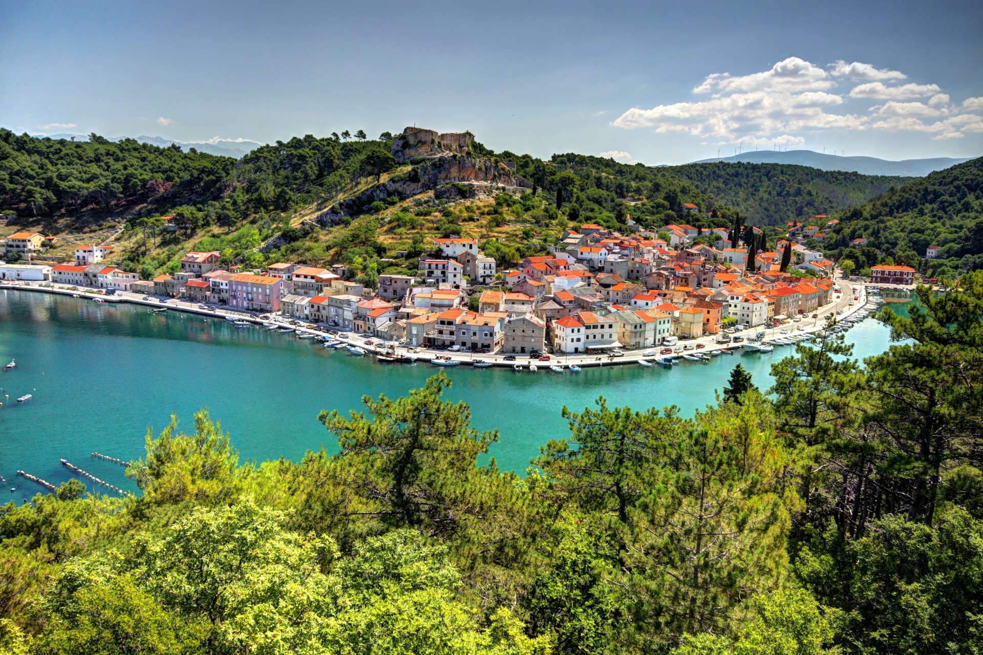
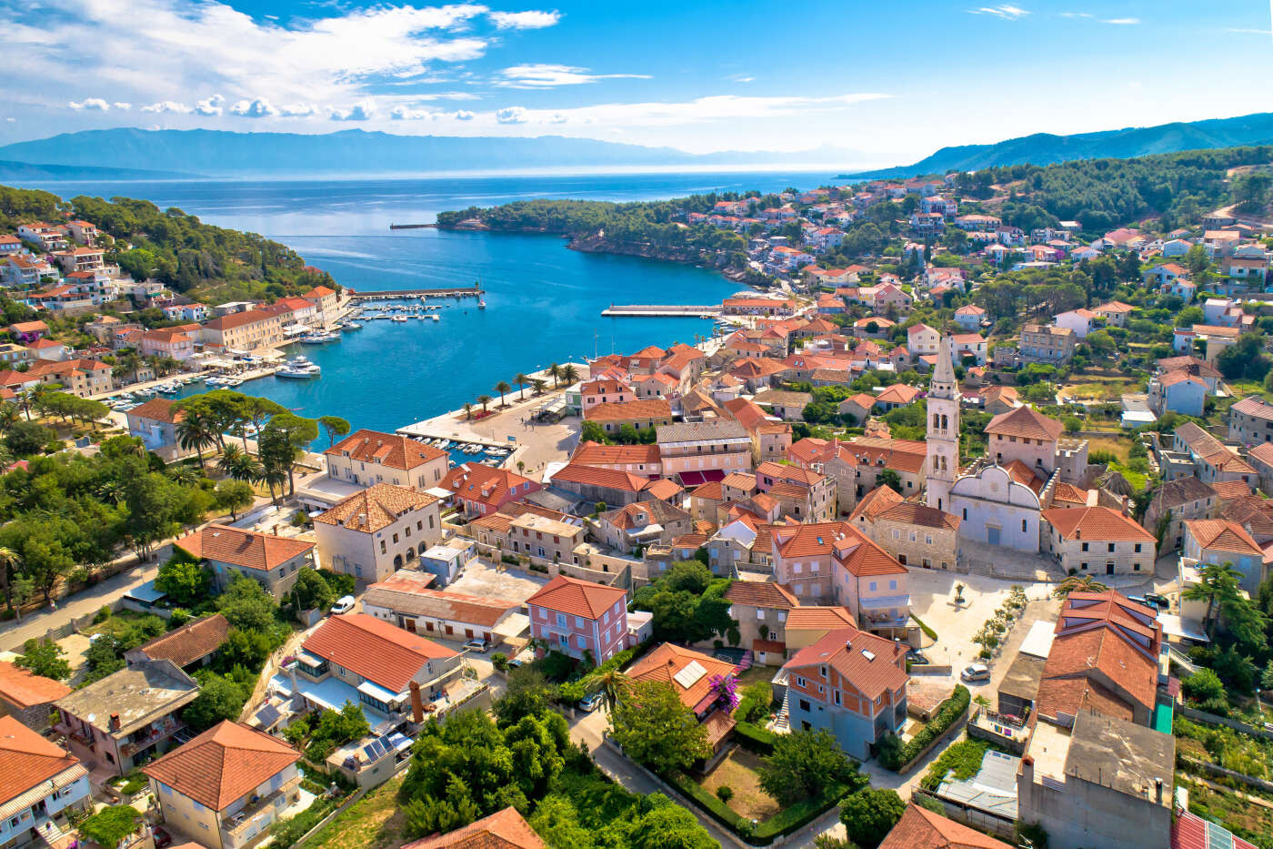
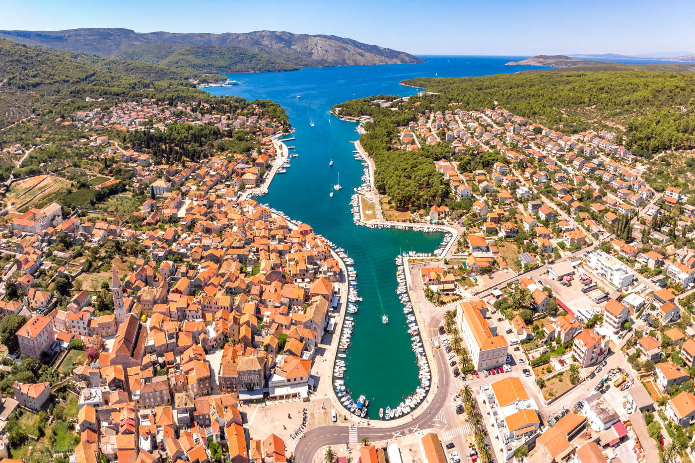
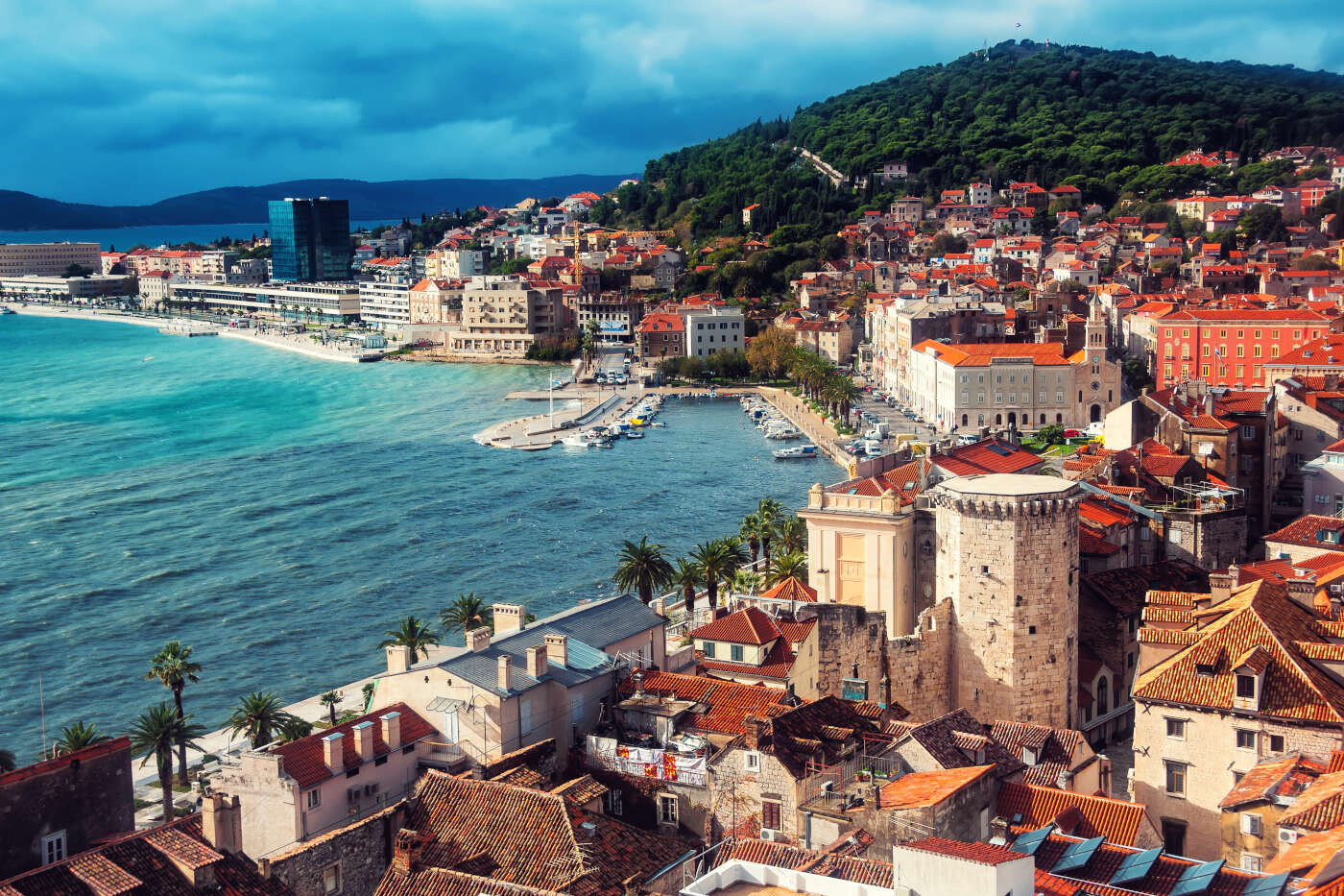
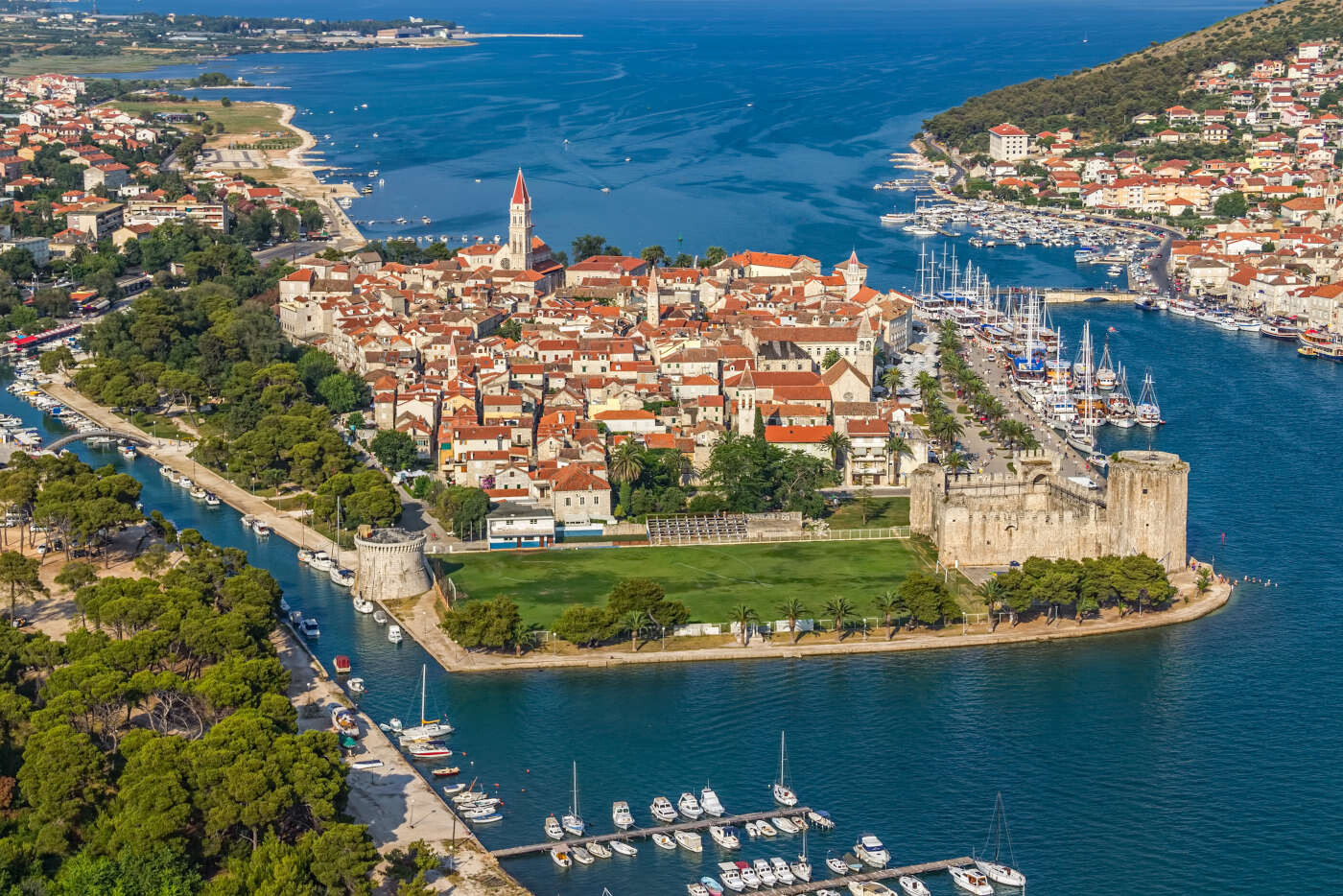
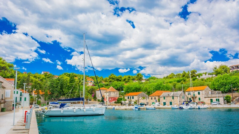
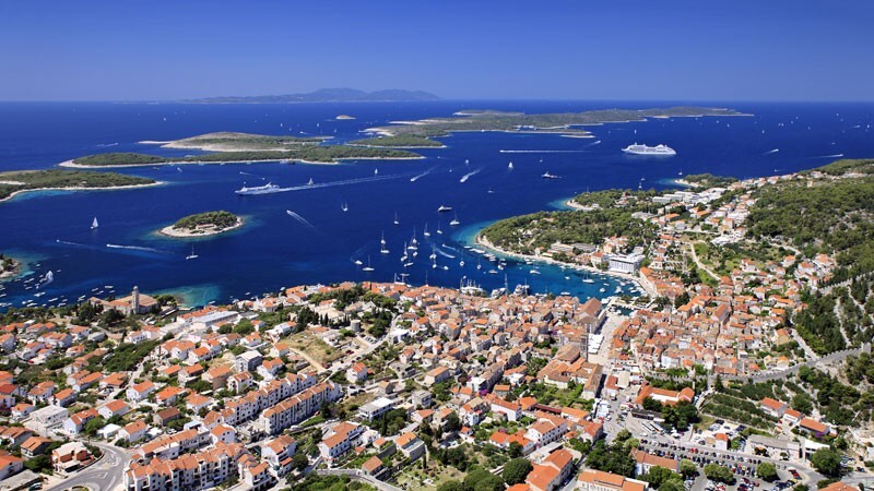
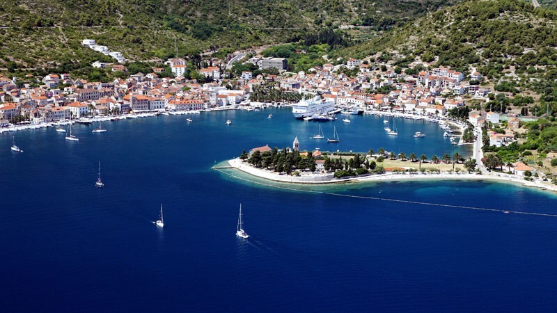
Hvar’s location at the centre of the Adriatic sailing routes has long made this island an important base for commanding trade up and down the Adriatic, across to Italy and throughout the wider Mediterranean. It has been inhabited since pre-historic times, originally by a Neolithic people, whose distinctive pottery gave rise to the term Hvar culture, and later by the Illyrians. The ancient Greeks founded the colony of Pharos in 384 BC on the site of today’s Stari Grad, making it one of the oldest towns in Europe. They were also responsible for setting out the agricultural field divisions of the Stari Grad Plain, now a UNESCO World Heritage Site. In medieval times, Hvar (city) rose to importance within the Venetian Empire as a major naval base. Prosperity brought culture and the arts, with one of the first public theatres in Europe, nobles’ palaces and many fine communal buildings.
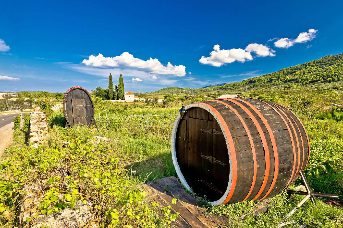
The 16th century was an unsettled time, with the Hvar Rebellion, coastal raids by pirates and the Ottoman army from the mainland, resulting in some unusual fortified buildings on the northern shore to protect the local population. After a brief time under Napoleonic rule, the island became part of the Austrian Empire, a more peaceful and prosperous time. On the coast, harbours were expanded, quays built, fishing and boat building businesses grew. At the same time, the island’s wine exports increased, along with lavender and rosemary production for the French perfume industry. Unfortunately, this prosperity did not continue into the 20th century as wooden sailing boats went out of fashion, and the phylloxera blight hit wine production. Many islanders left to make a new life elsewhere.
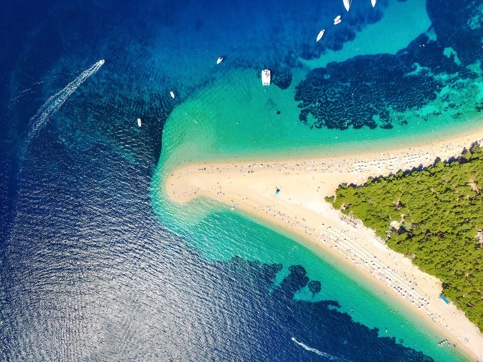
Jagodna beach between the villages of Ivan Dolac and Sveta Nedilja.
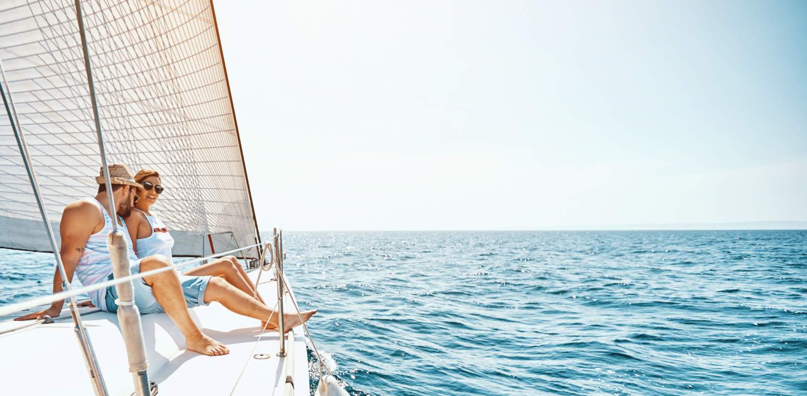
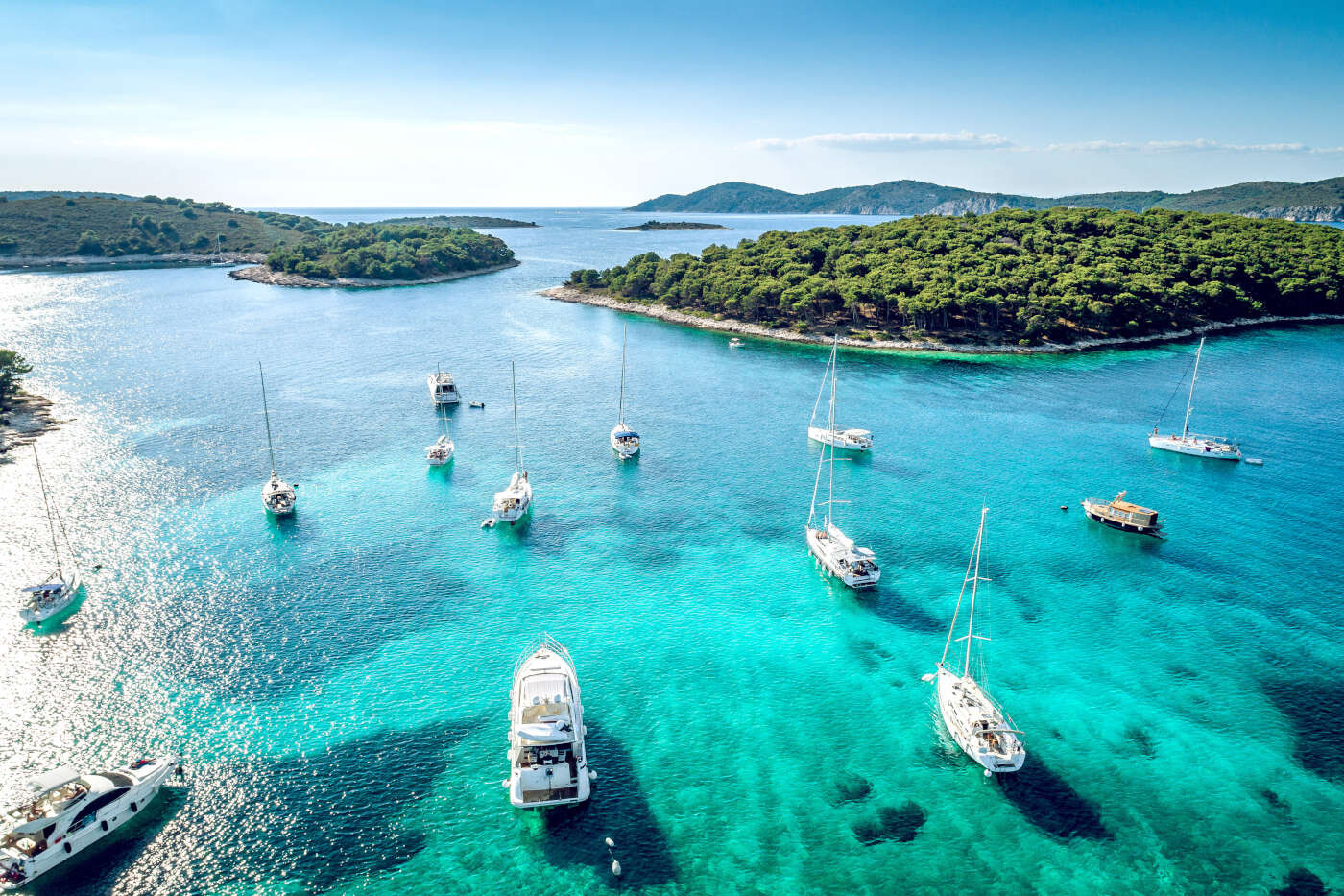
One industry, tourism, has however continued to grow and is now a significant contributor to the island’s economy. The formation of The Hygienic Association of Hvar in 1868 for the assistance of visitors to the island has been instrumental in developing an infrastructure of hotels, apartments, restaurants, marinas, museums, galleries and cafes. Today, the island of Hvar is a popular destination, consistently listed in the top 10 islands by Conde Nast Traveler magazine.
The climate of Hvar is characterized by mild winters and warm summers. The yearly average air temperature is 16 °C (61 °F), 703 mm (27.7 in) of precipitation fall on the town of Hvar on average every year and the town has a total of 2,800 sunshine hours per year. For comparison, Hvar has an average of 7.7 sunshine hours per day while Dubrovnik has 7.2. The sea temperatures average from the lowest readings in February of 14 °C (57 °F) to their warmest during summer, when the sea temperatures usually stay between 23 °C (73 °F) to 27 °C (81 °F). The Köppen Climate Classification subtype for this climate is "Csa" (Mediterranean Climate).

")


")