Vis is a small Croatian island in the Adriatic Sea. The farthest inhabited island off the Croatian mainland, Vis had a population of 3,617 in 2011. Vis has an area of 90.26 km2(34.85 square miles). The highest point of the island is Hum, which is 587 metres (1,926 feet) above sea level.
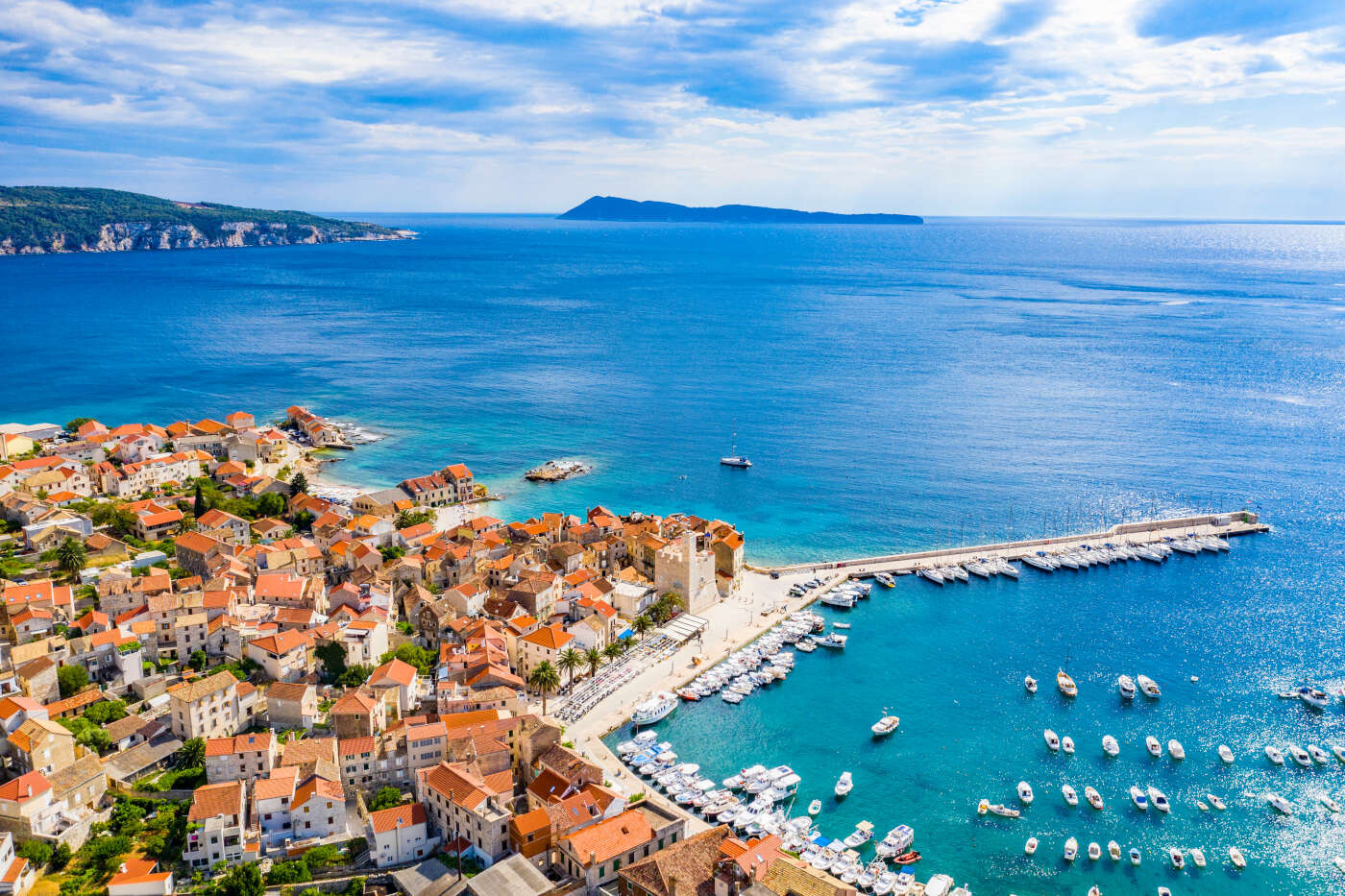
The island's two largest settlements are the town of Vis, on the eastern side of the island (the settlement after which the island was originally named), and Komiža, on its western coast.
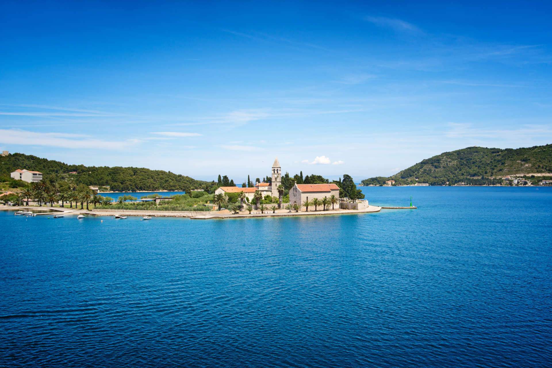
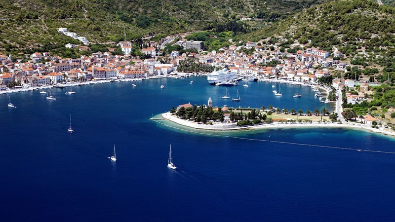
Once known for its thriving fishing industry in the late 19th and early 20th centuries, the main present-day industries on the island are agriculture and tourism. The town of Vis and Komiža are also seats of separate administrative municipalities, which cover the entire island and nearby islets, which are both part of Split-Dalmatia County. The town of Vis is located in a relatively large and protected bay (Croatian: Uvala Svetog Jurja, English: Bay of Saint George) on the north-east side of the island facing the island of Hvar and the Dalmatian mainland. The port of Vis is located in the south-west part of the bay. The port is protected from open sea influence by the islet of Host (named after William Hoste) and the peninsula called Prirovo (sometimes spelled "Prilovo"). Other ports are smaller and located in Kut and Stonca, which are also parts of the town of Vis.
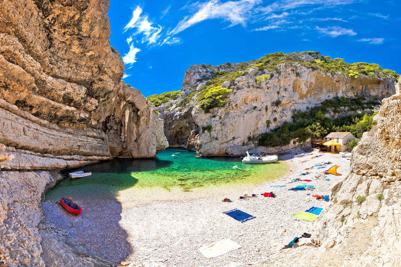
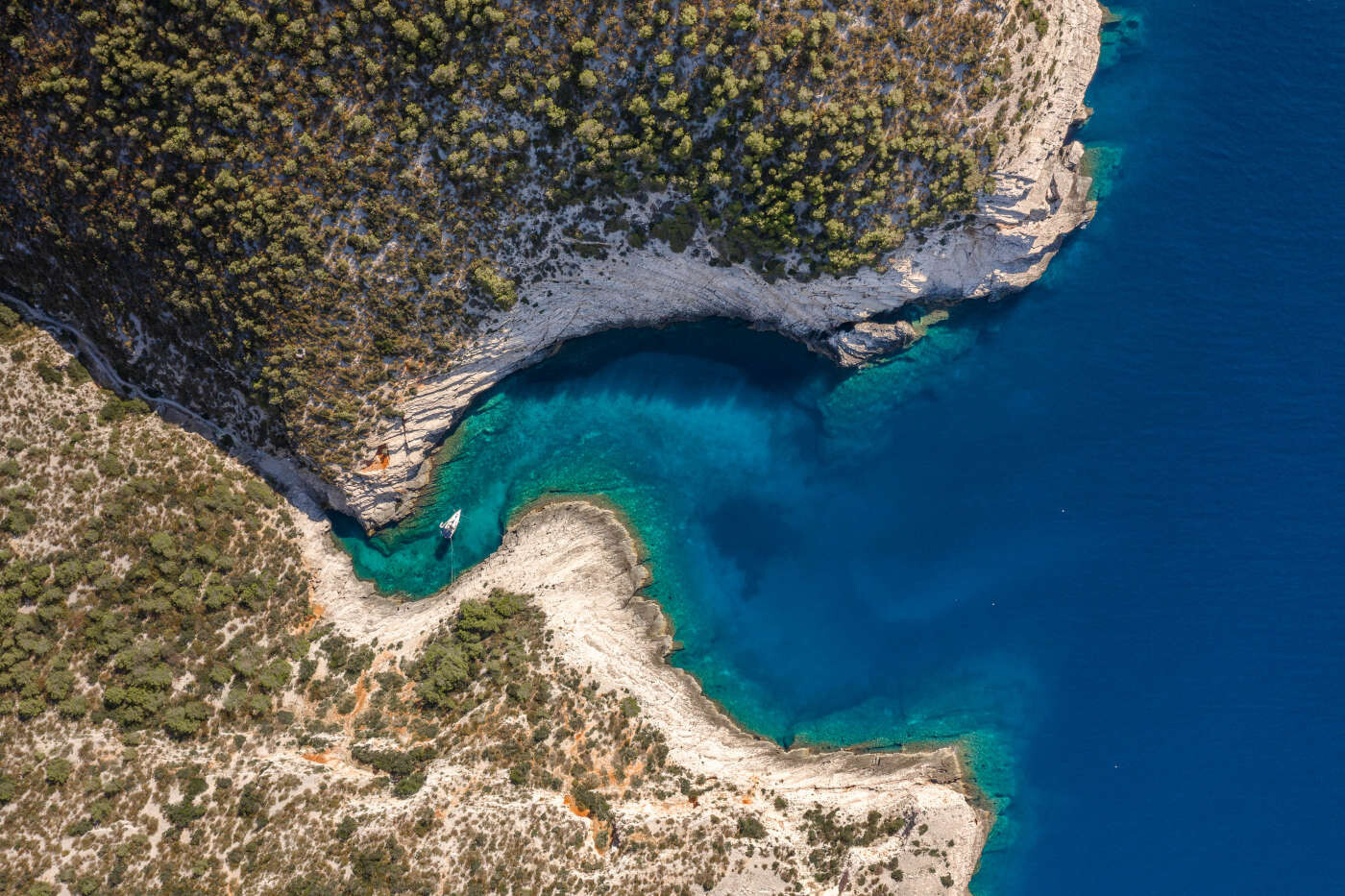
Vis is isolated from its fields (Dračevo polje and Velo polje) thanks to the 250–300 m high hills which are important for the local citizens as the main source of incomes from viticulture. Other official parts of the town on the south and south-east coast are the villages located on bays such as Milna, Rukavac, Srebrna, Stiniva, Stončica, although some of them have a tendency to become new towns. These bays and villages are, besides the town of Vis itself, the main source of tourist income for the whole island.
Vis experiences warm and temperate winters with warm to hot summers with the landward breeze making it the most moderate climate in the Republic of Croatia. The climate allows for tropical and Mediterranean vegetation, including palms, carobs, olives, grapes and lemons. The average rainfall is about 750 mm (29.5 in) per m2. The island of Vis has a number of natural sources of drinking water from the natural spring water reservoirs. The island is also home to twelve distinct types of island vegetation. Vis has been marked as one of the ten most environmentally preserved islands in the Mediterranean by the World Organization for Environmental Protection. Komiža is a Croatian coastal town lying on the western coast of the island of Vis in the central part of the Adriatic Sea. As of 2011, Komiža proper has a population of 1,397, while the entire municipality has 1,526 residents.
Komiža is located at the foot of the Hum hill (587 m). The average air temperature in January is 10.1 °C (50 °F). The economy is based on farming, winemaking, fishing and fish processing, seafaring and, in recent times, tourism. The fishermen are noted for their Falkuša vessels.
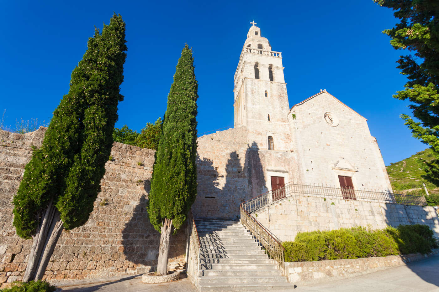
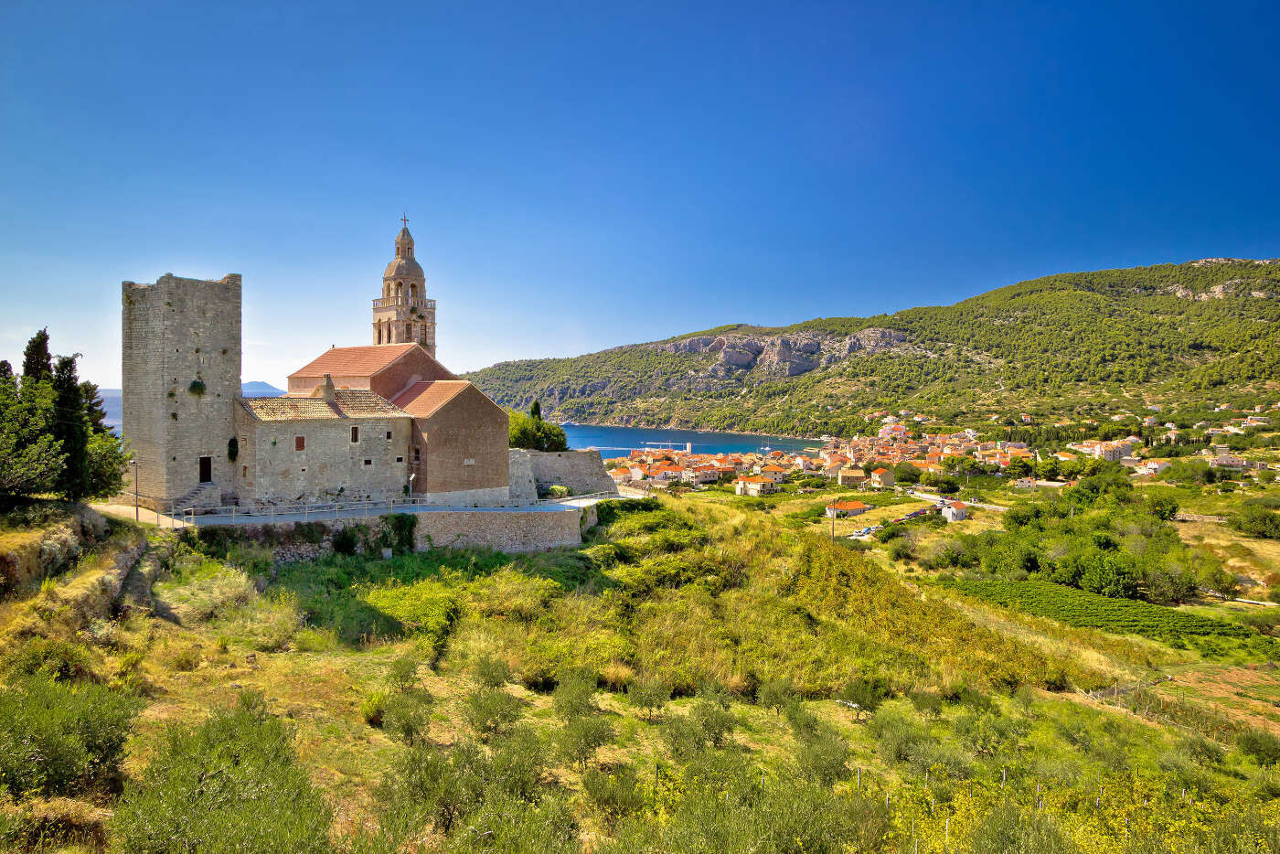
Komiža has two roads that connect it with the town of Vis, the only town being connected with Split by ferry line — they are the D117 state road and a county road. Situated in a deep bay, whose eastern shore abounds with large pebble beaches (Kamenica, Gusarica, Nova Pošta, Velo Žalo), Komiža offers excellent visitor opportunities: quality accommodations (hotels and apartments), and a number of cultural and historic sites, monasteries and fortresses. It is known for its fishermen.
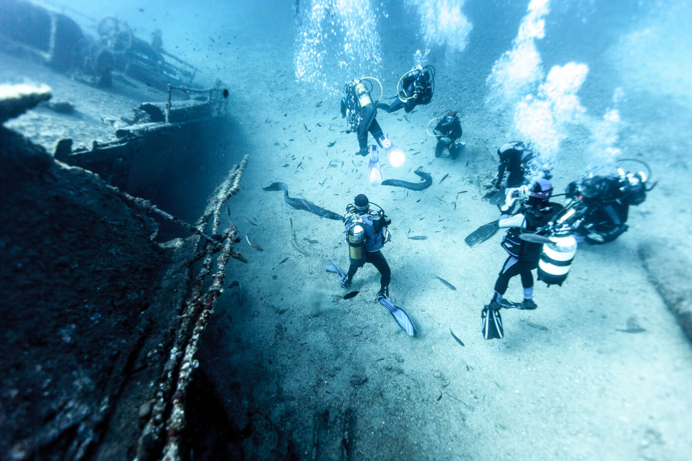
Sports and recreational facilities include three boccia courts, as well as various playgrounds for basketball, handball and football. Water sports and diving are part of the town’s summer activities. Komiža is famous for its wines.
Komiža experiences warm and temperate winters with warm to hot summers with the landward breeze making it the most moderate climate in the Republic of Croatia. The climate allows for tropical and Mediterranean vegetation, including palms, carobs, olives, grapes and lemons. The average rainfall is about 750 mm (29.53 in) per m2. The island of Vis has a number of natural sources of drinking water from the natural spring water reservoirs. The island is also home to twelve distinct types of island vegetation. Vis has been marked as one of the ten most environmentally preserved islands in the Mediterranean by the World Organization for Environmental Protection.
