
Tramontane
Tramontane is a classical name for a northern wind. In Slovenia, the word "tramontana" is used for a strong northerly, often hurricane-force wind that blows from the Alps to the Venice bay over Trieste, Slovenian coast and Istria with gusts sometimes as high as 200 km/h (usually 80 km/h). It has a transitional nature (from 2 to 4 hours in the Koper Bay) and it often quickly turns into bora.
Due to its strength, it can uproot trees and often damages boats by crashing them into the coast. On the Croatian Adriatic coast it is called tramontana in Dalmatia, with a number of local variations (termuntana, trmuntana, t(a)rmuntona and others).
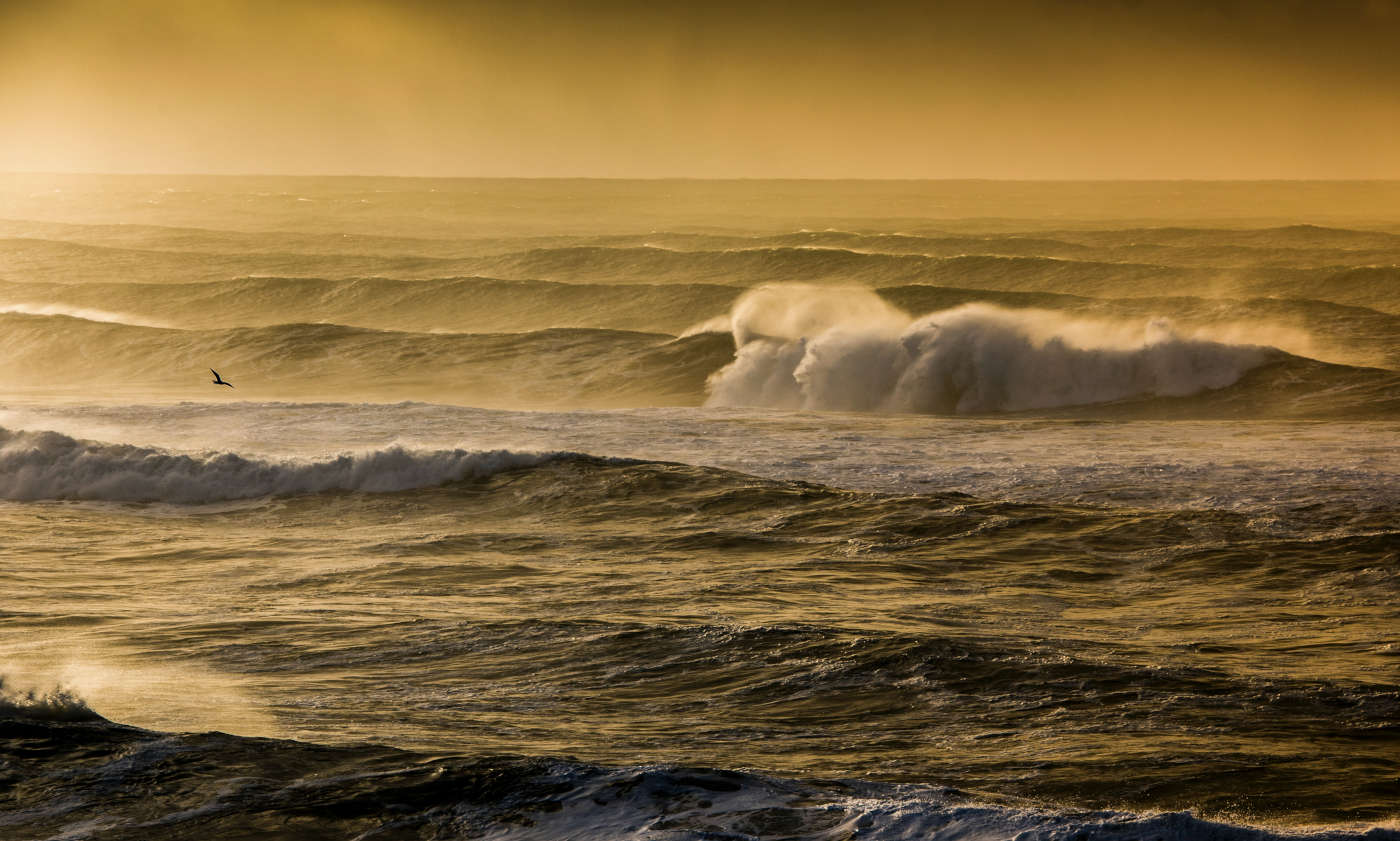
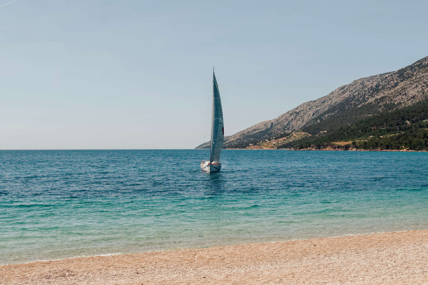
Like levant, it is considered a transitional wind, associated with the change of weather, which frequently transforms into bora. Like bora, it is a strong wind capable of generating large waves, but is less gusty. The Tramontane itself usually lasts for a day and can be quite unpredictable and shifty, generating large waves … so beware on the waters.
Bora
Bora (Croatian: bura) is a northern to north-eastern katabatic wind in the Adriatic Sea. Similar nomenclature is used for north-eastern winds in other littoral areas of the eastern Mediterranean and Black Sea basins.
The changeable bora can often be felt all over Dalmatia, Istria, Rijeka, the Slovenian Littoral, Trieste and the rest of the Adriatic east coast. It blows in gusts. The bora is most common during winter. It blows hardest, as the meteorologist Baron Ferdinand von Wrangel explained it by extending Julius Hann's explanation of Alpine katabatic winds to the north Adriatic, when a polar high-pressure area sits over the snow-covered mountains of the interior plateau behind the Dinaric coastal mountain range and a calm low-pressure area lies further south over the warmer Adriatic. As the air grows even colder and thus denser at night, the bora increases. Its initial temperature is so low that even with the warming occasioned by its descent, it reaches the lowlands as a cold wind. The wind takes two different traditional names in the areas of Italy, depending on the associated meteorological conditions: the "light bora" (Italian: "bora chiara") is a bora in the presence of clear skies, whereas clouds gathering on the hilltops and moving towards the seaside with rain or snow characterize the "dark bora" ("bora scura").
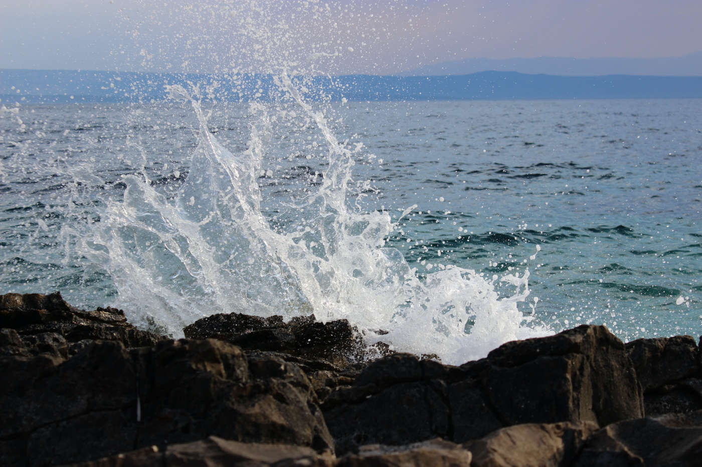
The area where some of the strongest bora winds occur is the Velebit mountain range in Croatia. This seaside mountain chain, spanning 145 kilometres, represents a huge weather and climatic divide between the sharp continental climate of the interior, characterized by significant day/night temperature differences throughout the year, and the Adriatic coast with a Mediterranean climate. The bora occurs because these two divided masses tend to equalize. Sailing during the bora can be challenging and it requires caution, regarding the readiness of both the boat and its crew. Short, high waves with white crests are its characteristics, making the navigation difficult. The small drops formed by the wind create the so-called "sea smoke" that reduces the visibility significantly. Experienced seamen have a proverb: "When bora sails, you don't!" Sailing can be extremely dangerous for an unexperienced navigator in the Velebit channel because the wind can start suddenly on a clear and calm day and result in major problems, frequently also affecting road traffic. Near the towns of Senj, Stara Novalja, Karlobag and the southern portal of the Sveti Rok Tunnel in Croatia, it can reach speeds of up to 220 kilometres per hour. On 21 December 1998, the speed of a gust on the Maslenica Bridge (north of Zadar) was measured at a record speed of 248 kilometres per hour. During 22 and 25 December 2003 on A1 highway near Sveti Rok Tunnel, a new record was measured at a speed of 304 kilometres per hour.
Burin
Burin is another favourite wind during the summer months (North East (NE)); a thermal wind that usually blows during the evenings and night hours. Burin blows in almost the same direction as the infamous bura, but at a much more pleasant force. With a variety of winds blowing along the Adriatic, Croatia is an all-year sailing destination for sailing enthusiasts but the leisurely sailing season kicks off in Easter and by May, maestral starts attracting the crowds. LEVANT Levant (Croatian: Levant) is an easterly wind that blows in the western Mediterranean Sea and southern France, an example of mountain-gap wind. When blowing moderately or strongly, levant causes heavy swells on the Mediterranean. Usually gentle and damp, levant frequently brings clouds and rain. When it brings good weather, it is known as "levant blanc".
It thus referred to the Eastern direction of the rising sun.
Sirocco or Jugo
Sirocco (Croatian: Jugo) is a Mediterranean wind that comes from the Sahara and can reach hurricane speeds in North Africa and Southern Europe, especially during the summer season.
It arises from a warm, dry, tropical air mass that is pulled northward by low-pressure cells moving eastward across the Mediterranean Sea, with the wind originating in the Arabian or Sahara deserts. The hotter, drier continental air mixes with the cooler, wetter air of the maritime cyclone, and the counter-clockwise circulation of the low propels the mixed air across the southern coasts of Europe.
Sirocco causes dusty dry conditions along the northern coast of Africa, storms in the Mediterranean Sea and cool wet weather in Europe. Sirocco's duration may be as short as half a day or it may last several days. While passing over the Mediterranean Sea, sirocco picks up moisture; this results in rainfall in the southern part of Italy, known locally as "blood rain" due to the red sand mixed with the falling rain. Many people attribute health problems to sirocco, either because of the heat and dust along the African coastal regions or because of the cool dampness in Europe. The dust within the sirocco winds can cause abrasion in mechanical devices and penetrate buildings.
Sirocco winds with speeds of up to 100 kilometres per hour (54 knots) are most common during autumn and spring. They reach a peak in March and in November when it is very hot.
When combined with a rising tide, sirocco can cause the "acqua alta" phenomenon in the Venetian Lagoon.
Ostro
Ostro (Croatian: Oštro) is a southerly wind in the Mediterranean Sea, especially the Adriatic. Its name is Italian, derived from the Latin name Auster, which also meant a southerly wind. It is a warm and humid wind that often carries rain, but it is also sometimes identified with libeccio and sirocco.
Lebeche
Lebeche is the Spanish name for a warm southwest wind in parts of coastal Mediterranean Sea, either a foehn wind or a hot southerly wind in advance of a low-pressure area moving from the Sahara Desert. Called by other names in other parts of the Mediterranean area.
PONENTE
Ponente (Croatian: Punenat) is the traditional cardinal point West, more specifically a wind that blows from the west.
Ponente was regarded as a mild wind that brought relief from the summer heat and some useful moisture for crops.
Maestral or Maestro
Similar names – maestral or maestro – are used for (although also mostly northwestern) a quite different wind in the Adriatic Sea. It is an anabatic sea-breeze wind that blows in the summer when the east Adriatic coast gets warmer than the sea. It is thus a mild sea-to-coast wind, unlike mistral.
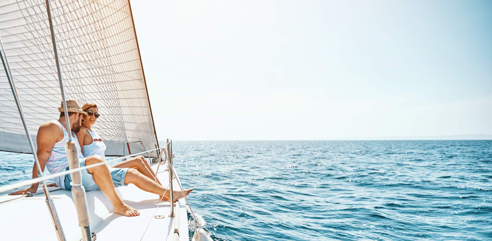
Maestral is the favourite summer wind for all leisurely sailors meandering down the Adriatic. This refreshing breezy wind kicks off around noon (allowing you to sleep in before starting your daily sailing adventures) and backs off before sunset, just in time to berth at a quay and prepare for dinnertime. Maestral blows during the summertime and can at times reach up to 30 knots.
On the Adriatic, maestral is a pleasant, coastal, daily thermal wind that blows from the sea to the mainland because the mainland is heated faster than the sea during the day. In the Slovenian littoral, it blows from the west-northwest direction (WNW), across the greater part of the Adriatic from the northwest (NW) and in the extreme south of the Adriatic even from the west (W). It starts blowing after 10 a.m., reaches its maximum power around 2 p.m. (around 4 Bf) and stops blowing before sunset.